Tag: Open data

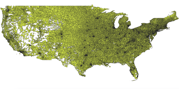
Visual representation of ZIP codes boundaries on a map
SolutionsOpenStreetMap

US ZIP Codes: Explore and Download for Free

Read our US ZIP code guide. Explore, understand, and freely download. Leveraging Census data and open data principles for comprehensive geolocation insights...
Read More
AI-Generated Urban Landscapes
Use casesOpenStreetMap

Cities, Towns, Villages and Hamlets dataset: How to Use for Data Analysis

Explore the possibilities within our cities, towns, villages, and hamlets dataset through this guide to data analysis. Unlock insights with the help of JavaScript and Python code samples...
Read More
Individuals utilizing a map to search nearby restaurants and cafes for a delightful dining experience
GeospatialOpenStreetMap

Boosting Business Visibility: OpenStreetMap for Local Marketing

Looking to boost your small business's local presence? Explore how OpenStreetMap plays a pivotal role in enhancing visibility for local marketing...
Read More
The AI-generated image captures a dynamic, densely populated cityscape teeming with activity, characterized by towering skyscrapers and bustling streets
GeospatialOpenStreetMap

A Detailed List of the World's Most Populated Cities

Looking for info on the most populous cities? Uncover the 100 most populated worldwide and download the complete list with populations & coordinates...
Read More
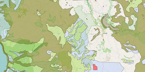
Explore different geological zones in Cyprus using <a href="https://maps.palsurveying.com/" rel="nofollow" target="_blank">GIS</a>.
Solutions

The Importance of GIS: 5 Key Benefits

Discover the 5 key benefits of GIS and how it can revolutionize the way you work. Learn how GIS can improve decision-making and increase efficiency...
Read More
Hurricane Florence from the International Space Station From 9/12 | NASA Goddard Space Flight Center
Use cases

How Geospatial Analytics Helps Businesses Plan For Disasters

Learn how GIS and geospatial analytics can help businesses prepare and plan for disasters through mapping and analyzing data. Read our article to see real-life examples and benefits of using geospatial technology in disaster management....
Read More