Tag: Geo data | Page 2
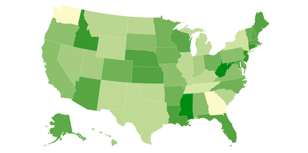
Find out what choropleth maps are, see examples, and learn to create custom maps with Datawrapper and JavaScript using Geoapify's powerful APIs...
Learn about the format of UK postcodes, how to create boundaries for postcode areas, and where to download reliable postcode data...
Discover how geospatial analysis identifies noise sources and impacts on property values with demonstrative examples...
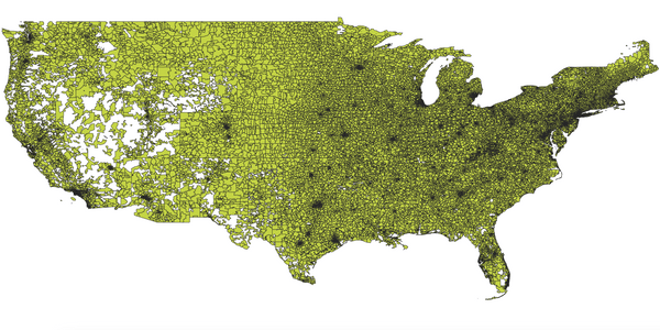
Read our US ZIP code guide. Explore, understand, and freely download. Leveraging Census data and open data principles for comprehensive geolocation insights...
Looking to boost your small business's local presence? Explore how OpenStreetMap plays a pivotal role in enhancing visibility for local marketing...
Looking for info on the most populous cities? Uncover the 100 most populated worldwide and download the complete list with populations & coordinates...


