Tag: Front End

Google Plus Codes enable recognition of isolated locations for navigation and delivery purposes
Geospatial

Guide to Google Plus Codes: Encoding & Decoding Locations

Discover Google Plus Codes as an alternative to postal addresses for precise geolocation. Learn how to use and integrate them into your applications...
Read More
JavaScript developers can use geo data to build more robust applications
Geospatial

GeoJSON and JavaScript: A Developer's Handbook for Geographic Data

JavaScript developers' guide to GeoJSON: Explore dynamic mapping and geospatial data handling with ease and expertise...
Read More
JavaScript developers can leverage user location data to create dynamic web apps that adjust map views, show nearby points of interest, and offer personalized recommendations
Maps API

How to Get User Location with JavaScript: A Comprehensive Guide

Get visitor location on your website with JavaScript. Explore methods like navigator.geolocation, IP geolocation, and more with practical examples...
Read More
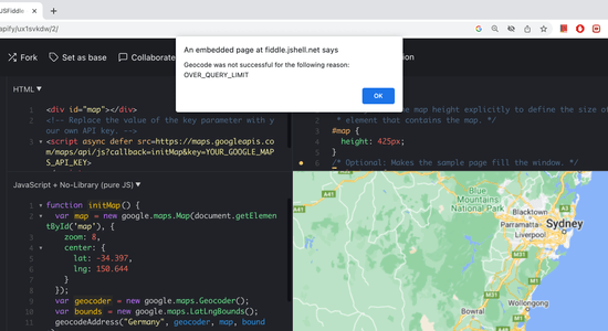
JSFiddle shows OVER_QUERY_LIMIT geocode error
Maps API

Overcoming Geocoding Limits: How to Manage the OVER_QUERY_LIMIT Status

Learn how to handle 'OVER_QUERY_LIMIT' status in the Google Geocoding API. Our tips and strategies will help you troubleshoot geocoding issues...
Read More
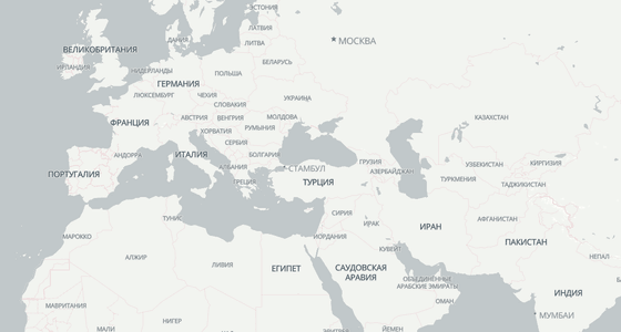
Set the language for map labels: the map is shown with Russian labels
Maps API

Map language: localize cities, roads, and other labels on the map

Learn how to change the language of your map. Set a localized name or an expression, show Latin and non-Latin names together....
Read More
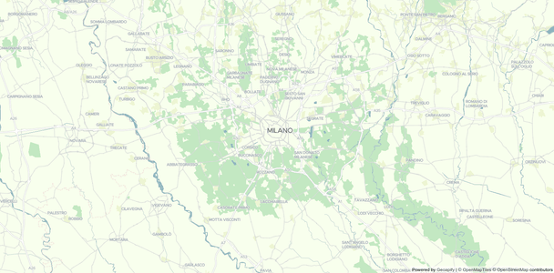
Map custom style based on Positron OSM map style
Maps API

Styling your map: customize colors and labels of your OSM map

Learn how to create a custom map style for an OpenStreetMap-based map. Customize colors and labels with the Maputnik map style editor....
Read More