Tag: Data analysis
Learn about Geospatial Data Analytics—its importance, types, benefits, and industry use cases. Discover how Geoapify’s tools can help you leverage location intelligence for smarter decision-making...
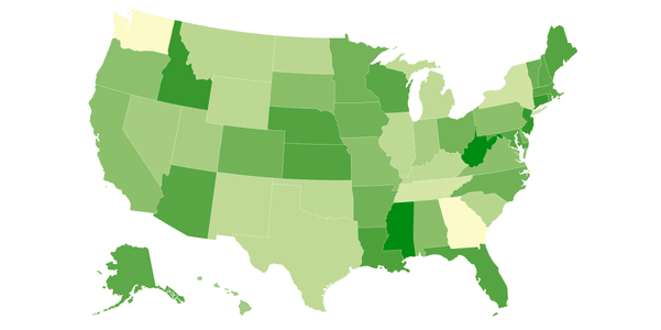
Find out what choropleth maps are, see examples, and learn to create custom maps with Datawrapper and JavaScript using Geoapify's powerful APIs...
Learn about the format of UK postcodes, how to create boundaries for postcode areas, and where to download reliable postcode data...
Discover country-specific address formats. Get a JSON with international address templates to enhance your app's data handling and UI design...
Explore global postcode formats in our guide. Learn about different zip code layouts for efficient mail delivery, ideal for logistics and other businesses...
Explore the possibilities within our cities, towns, villages, and hamlets dataset through this guide to data analysis. Unlock insights with the help of JavaScript and Python code samples...


