Location-based APIs and services
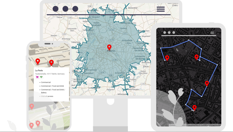
Geoapify offers Location-Based APIs that let you create maps, search addresses and locations, build routes and optimize them, and make spatial analyses.
You can try out the APIs in the interactive Playground. In addition, you can sign up and get to experiment with the Location APIs for free.
Interactive and static maps
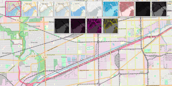
Map Tiles: Vector and Raster Maps for Leaflet, Mapbox/MapLibre GL, OpenLayers
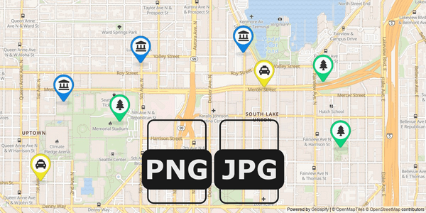
Static Maps API
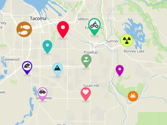
Map Marker Icons generator - create beautiful icons for your map
Geocoding and Geolocation
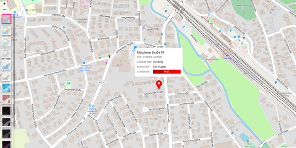
Geocoding API
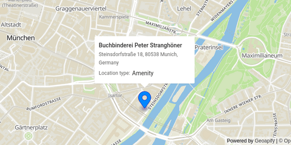
Reverse Geocoding API - Convert Lat/Long to Address
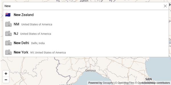
Address Autocomplete
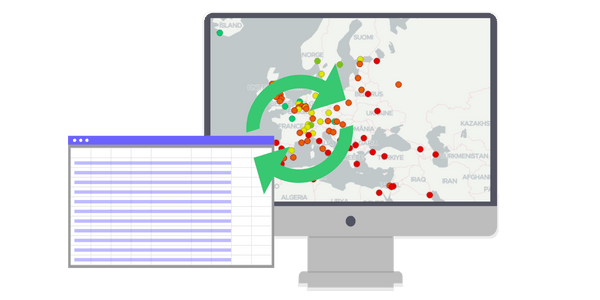
Batch Geocoding - Bulk Convert Addresses to Lat/Long
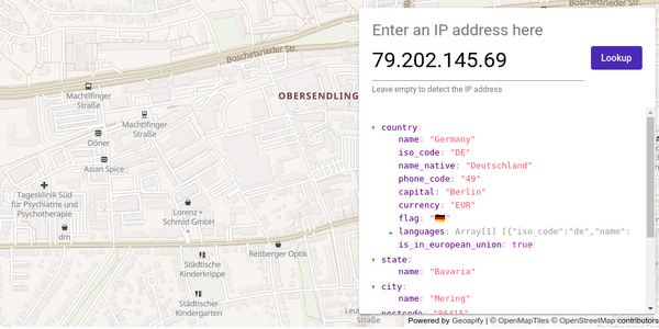
IP Geolocation API - get location by IP address
Batch Geocoding in Python
Routing and Route Optimization
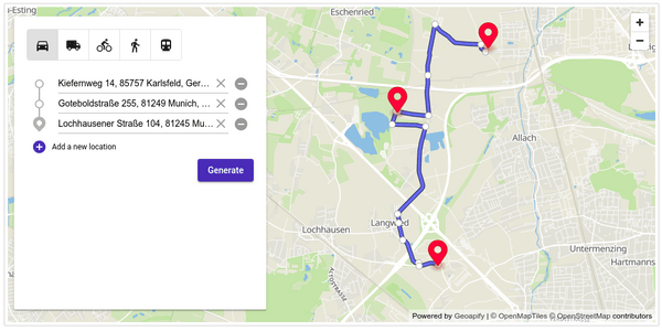
Routing API
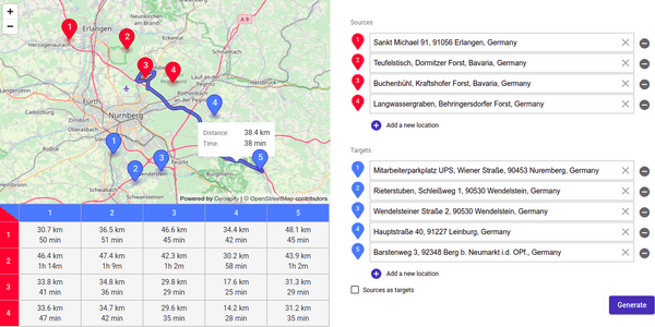
Route Matrix API
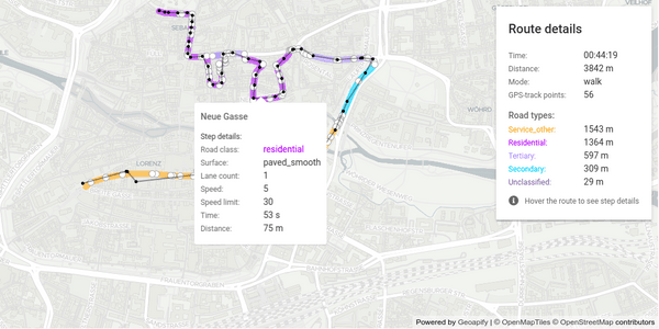
Map Matching API - Snap GPS Data To Roads | Geoapify
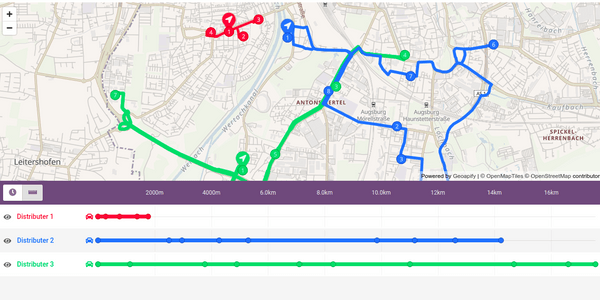
Route Planner API
Places, Details, and Postcodes
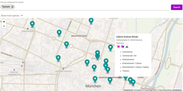
Places API - Accurate Points of Interest Data & Powerful Location Search
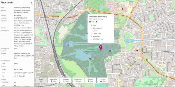
Place Details API
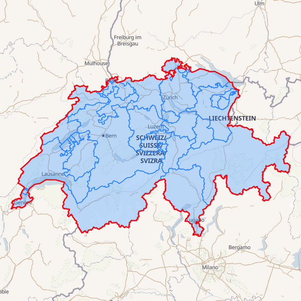
Boundaries API | Country, State and City Polygon Data | Geoapify
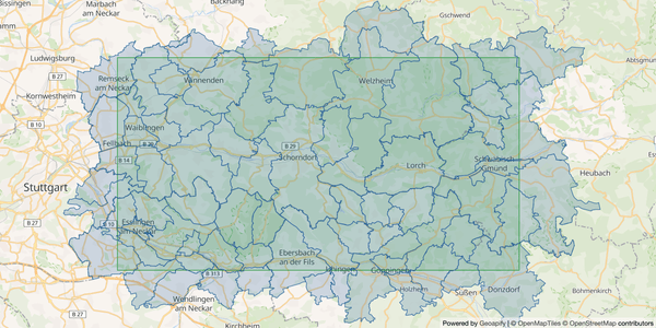
Postcode API
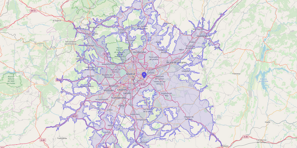
Isochrones and isodistances
Geoapify Location-based APIs benefits
High-quality at affordable prices
We designed our platform to be cost-efficient. So we can offer the best prices on the market for high-quality products.
In addition, we offer a Free Tier, which is fully functional and covers the needs of small companies and development phases. So you can start creating location-aware solutions now and upgrade as needed.
Open data and permissive conditions
Geoapify location-based services are powered by open data, such as OpenStreetMaps, OpenAddresses, WhosOnFirst, GeoNames, etc. We appreciate contributors' effort and believe that the data processing results should be open as well.
That's why we do not have restrictions on the results of our services. So you can cache, store, and redistribute them as you wish.
