Blog | Page 13
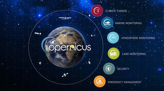
The importance of available open data plays a big role in developing geospatial and location analytics applications. Copernicus is the European...
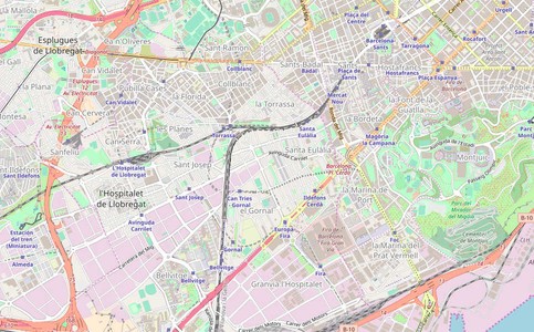
Even if OpenStreetMap has a 'map' in its name, it's not just a map. It's a collaborative project, which allows collecting...
The first step you do when creating a map from scratch is choosing a client mapping library. There are many JavaScript libraries...
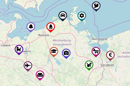
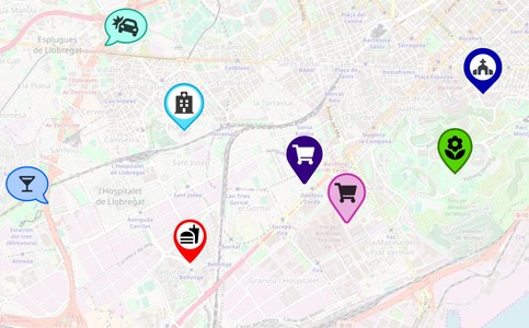
In this article, we would like to show you how to create amazing and easy to style map marker pins with Material Design or Awesome icons only ...
Markers are used to visualize a location on a map. Beautiful and different marker map icons make the map more informative and attractive...
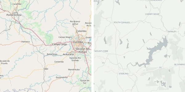
Raster vs vector. Are raster maps outdated and old fashioned? Are vector tiles the new trend in the mapping world? In this article, we will try...
